  |
The Scottish HighlandsBeinn a Chlachair
|
  |
|
Beinn
a Chlachair ( 1087m ) |
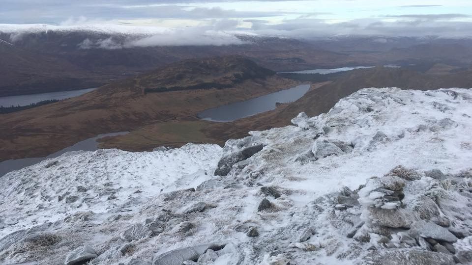 Summit view from Beinn
a Chlachair ( 1087m ) |
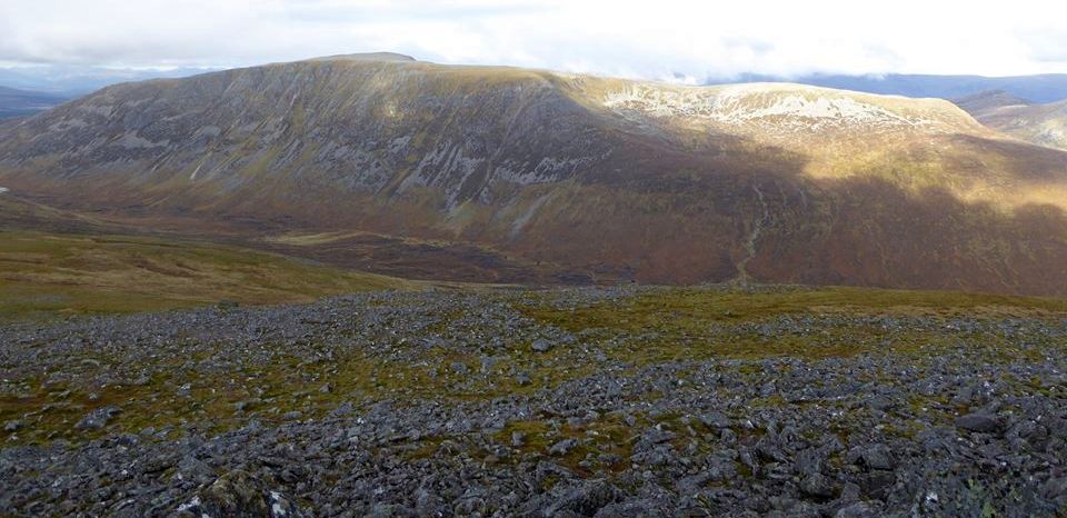 Beinn
a Chlachair from Carn Dearg |
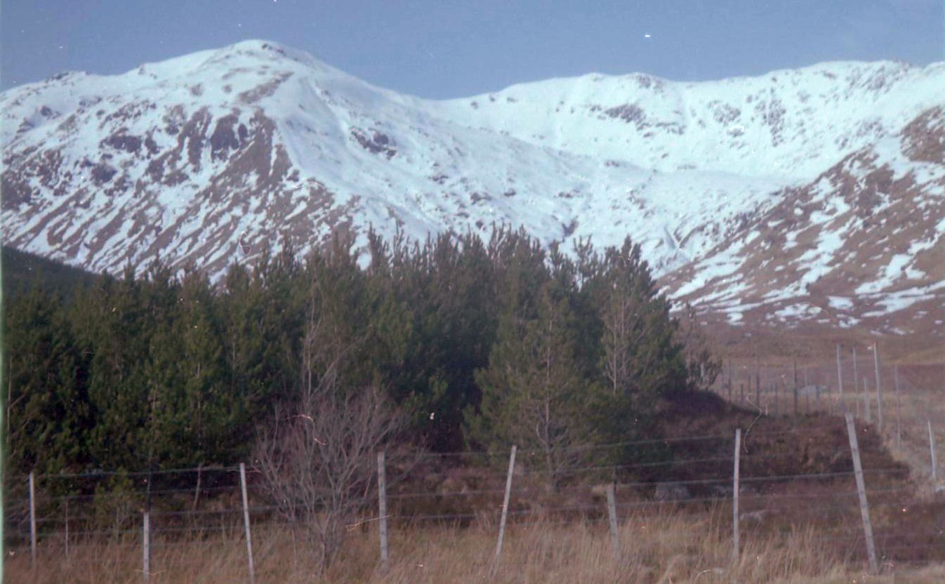 Creag Pitridh, Geal Charn and
Beinn a Chlachair to the south of Loch Laggan Loch
Laggan featured as Loch Bogle
in the BBC TV series "Monarch of the Glen" . |
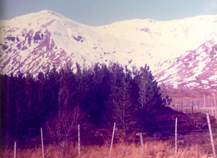 Creag Pitridh, Geal Charn and Beinn a Chlachair to the south of Loch Laggan Loch
Laggan featured as Loch Bogle
in the BBC TV series "Monarch of the Glen" . |
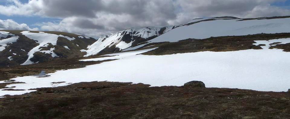 Geal Charn and Beinn a Chlachair |
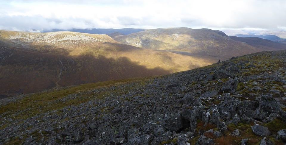 Geal
Charn and Beinn
a Chlachair from Carn Dearg |
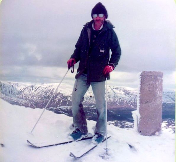 Trig
Point
on summit of Geal Charn ( 1049m ) |
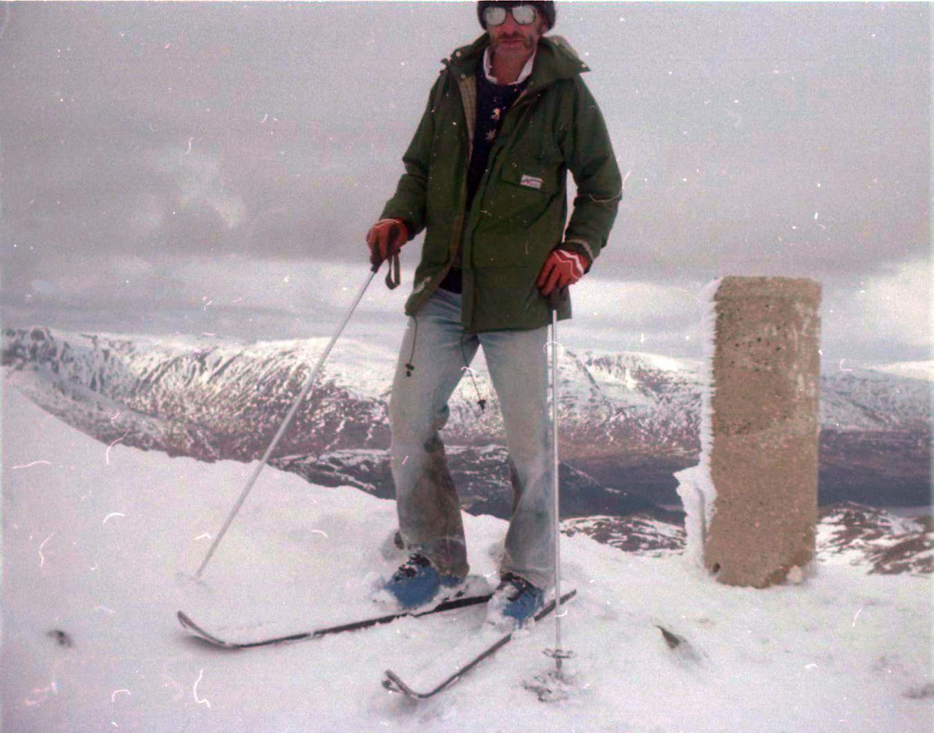 Trig
Point
on summit of Geal Charn ( 1049m ) |
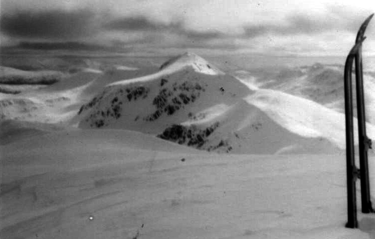 Creag
Pitridh
from Geal Charn ( 1049m ) |
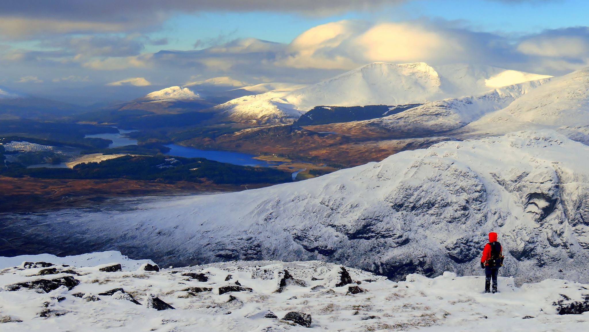 Creag
Meagaidh
from Creag Pitridh |
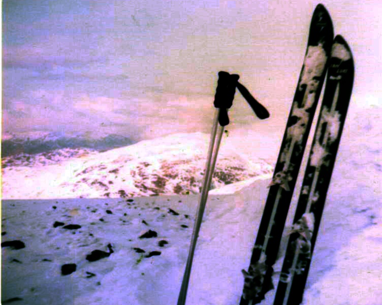 View
from Geal Charn ( 1049m ) |
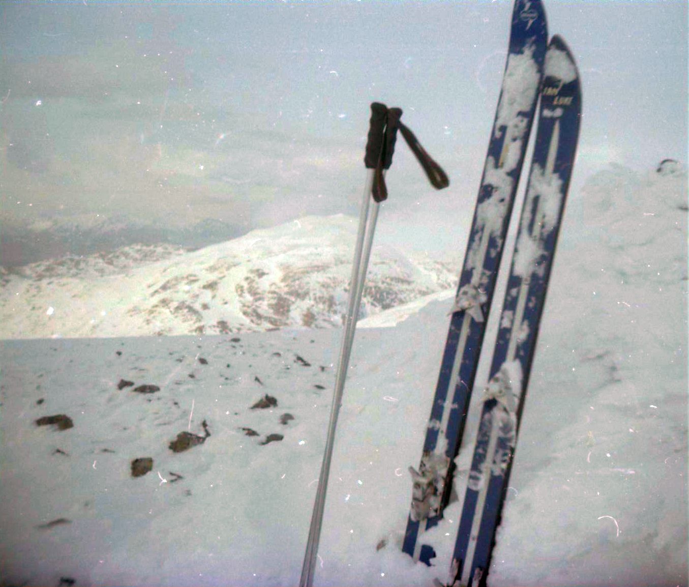 View
from Geal Charn ( 1049m ) |
 View
from Geal Charn ( 1049m ) |
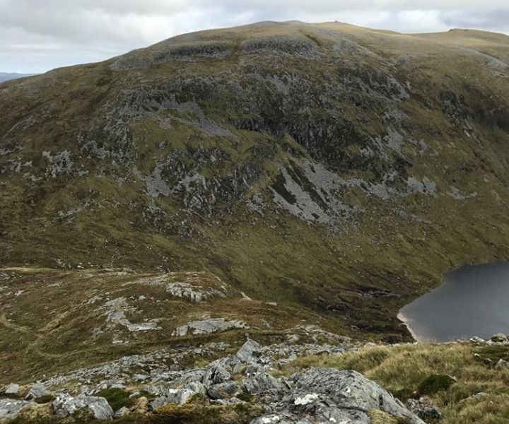 Geal
Charn (
1049m )
|
BEINN a'CHLACHAIR - ROUTE DESCRIPTION:
Location: Badenoch and Strathspey
Map: OS Landranger 42
Distance: 14 miles ( 23km )
Time: 7-9 hours
Grade: Serious mountain walk
The A86 Laggan to Spean Bridge road must be one of the most scenic in the country. With the massive bulk of Creag Meagaidh dominating one
side and the hills of the Ardverikie Forest on the other, the section that runs alongside Lochs Laggan and Moy offers an intoxicating blend of water,
forest and mountain scenery.
Beyond Loch Laggan and the craggy outline of Binnein Shuas the long ridge of Beinn a’ Chlachair suddenly comes into view, a fairly ordinary hill made
special by the beautifully sculpted corrie that has been gouged out of its northem slopes, the classic hanging valley.
Since the hill is predominantly linear, as opposed to its neighbouring Munro of Creag Pitridh, which is squat and rounded, a traverse is the
obvious way to enjoy its best aspects.
Beinn a’ Chlachair runs in a slight north-east trending curve with its north-facing slopes broken by the beautifully sculpted Coire Mor Chlachair.
The south slopes of the hill form a long and steep escarpment, the Garbh Bhruthach, whose scree slopes drop down to the remote watershed of An Lairig.
The best view of this aspect of the hill is from the Fara, high above the eastern end of Loch Ericht from where it appears as a high steepsided wedge.
With the sheer headwalls of Coire Mor Chlachair on one side and the high-angled slopes of the Garbh Bhrutach on the other, the traverse
of Beinn a’ Chlachair's upper slopes gives an impression of walking along a high and narrow corridor of stone.
Bulldozed tracks from Luiblea on the A86 give access to Lochan na h-Earba, but just before you reach the loch another track bears off to
the right, close to where the Allt Meall Ardraighe flows out from a smaller lochan. This track eventually degenerates into a rough path as
it climbs beside the waters of the tumultuous Allt Cam which tumble down in a series of marvellous cascades between Meall Cos Charnan
and Beinn a’ Chlachair's western slopes. Grassy slopes lead to a broad rock-strewn ridge which in turn narrows appreciably
before broadening out again into a stony plateau. No wonder this is the “stone-mason’s hill" — the tradesmen of old would have had more than
enough to choose from. The huge summit cairn looms ahead appears in the distance.
Beinn a’ Chlachair is well positioned within the Ardverikie Forest. To the north, across Loch Laggan, lies Creag Meagaidh,
although its prime attraction, the cavernous Coire Ardair, is well hidden from view. The long Aonach Beag ridge dominates the view to the south,
and to the west a plethora of shapely peaks fill the horizon, culminating in the highest of them all, Ben Nevis.
Route:
Start and finish at the car park on the A86 between Loch Moy and Loch Laggan ( GR: NN432830 ).
Follow the track past Luiblea towards the head of lochan na h-Earba.
About a kilometre before the loch another track runs off to the right and crosses the Allt Meall Ardraighe before running southwards to
the ruins at Lubvan.
Beyond the ruins the track becomes a rough footpath.
Follow this path beside the Allt Cam to the W extremity of the Beinn a’ Chlachair ridge.
Climb the ridge to the hill's summit, then, skirting the edge of Coire Mor Chlachair, descend in a NE direction to the Bealach Leamhain.
From here, descend the obvious footpath down to Lochan na h-Earba and the bulldozed track back to the road.
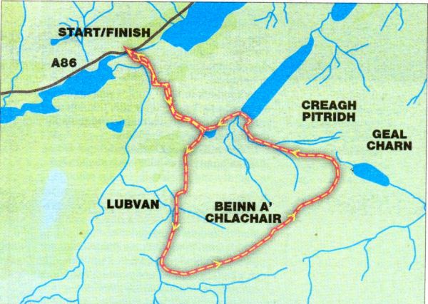 Route Map
for Beinn a Chlachair |
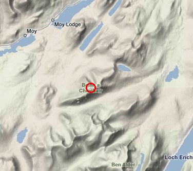 Location
Map
for Beinn a Chlachair |
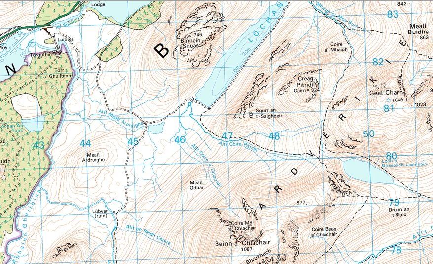 Map
for Creag Pitridh,
Geal Charn and Beinn a Chlachair |
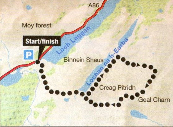 Map
for Creag Pitridh,
Geal Charn and Beinn a Chlachair |
CREAG PITRIDH, GEAL CHARN & BEINN a'CHLACHAIR - ROUTE DESCRIPTION:
Location: Glen Garry
Map: OS Landranger 42
Distance: 15 miles ( 25km )
Time: 7-8 hours
Grade: Moderate mountain walk
Geal Charn, just east of Creag Pitridh in the Ardverikie deer forest, was historically known as Mullach Coire an Iubhair, the peak of the corrie of the yew tree.
The Scottish Mountaineering Club guide of 1934 refers to it as such, as does Irvine Butterfield’s The High Mountains of Britain and Ireland.
Perhaps the Ordnance Survey should be encouraged to return its original name, even if only to remove the perception that because it’s a
Geal Charn - there are three others, all of which are routinely dismissed as being characterless — it must be dull.
The wildlife writer Jim Crumley once wrote that “there is no such thing as a dull hill, there are only dull people”.
The reason people regard certain hills as uninteresting is probably because they climb them by uninteresting routes, usually
a line of least resistance linking a couple of other Munros.
This has been Mullach Coire an Iubhair's downfall. Because it forms part of a triangle of Munros that can be climbed in a day from Luiblea near
Loch Laggan, and since most Munro-baggers consider a three-peak day better value than a single peak, comparatively few hillwalkers have
taken the trouble to explore the mountain on its own terms.
On the approach route to Mullach Coirc an Iubhair from Kinloch Laggan rough moorland gains the turf slopes
of Meall na Brachdlach, a long broad ridge that leads to a high bealach from which Coire an Iubhair rises in considerable splendour.
Snow in the upper confines of the crags often remains until well into the summer and is recognisable from as far away as Kingussie.
Two stout ridges climb to the summit saddle — Sron Garbh is the eastern one, a steep, rocky prow with considerable scrambling potential, and
the other, less steep, leads directly to the summit cairn and trig point at 3,442ft / 1,048m.
An ancient track eases its way up this ridge before swinging into Coire an Iubhair itself where a small lochan reflects the crags above.
An old staiker’s path crosses the spine of land between Lochan na h-Earba and the strath of the River Pattack and gives access to this
northern aspect of Mullach Coire an Iubhair.
The path that climbs into the corrie, mentioned above, joins this one on the bealach between Meall Buidhe and Mullach's north ridge.
Another alternative route is from the River Pattack track that runs up to Loch Pattack from Kinloch Laggan.
A footpath leaves the track to follow the course of the Allt Dubh up into the atmospheric corrie that's shared by Mullach Coire an Iubhair and
Meall Buidhe, a high and lonely place indeed.
Unfortunately the Munro-baggers route linking Creag Pitridh and Beinn a’Chlachair completely misses this wonderfully imposing north face of
Muilach Coire an Iubhair - and that makes a return visit even more worthwhile.
Route:
Leave the A86 at Luiblea ( GR NN43283l ) and follow the track up the east side of the Amhainn Ghuilbinn for about one kilometre.
Turn left and follow another track tor 400 metres, then right along another track which carries you around the lower slopes of Binnein
Shuas to the head ol Lochan na h-Earba.
Follow the track along the E shore of the loch for nearly 4km until you reach the Moy Burn.
Shortly beyond the burn a footpath leaves the track and runs uphill in a SE direction to cross below the N face of Mullach Coire an Iubhair.
From the bealach below Meall Buidhe leave the main path and head roughly S on another path leaving it eventually as it curves into Coire an Iubhair.
Continue up steep slopes to the summit cairn and trig point on Geal Charn.
Descend SW to the Bealach Leamhain path and follow it back to Lochan na h-Earbe to pick up your outward route.
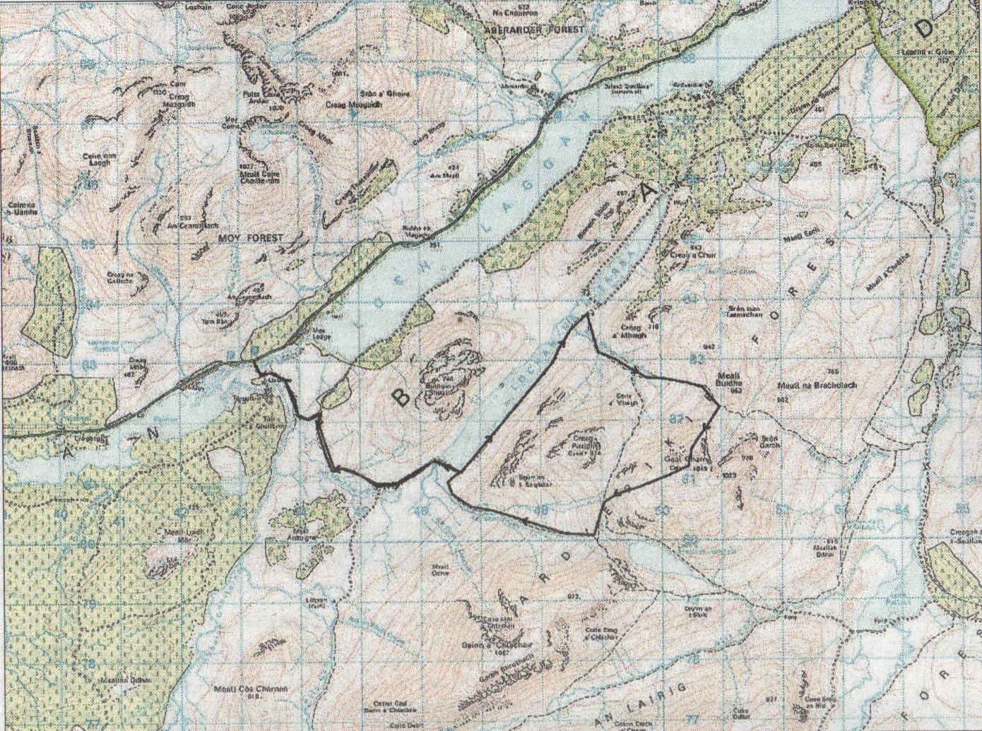 Map
for Geal Charn
|
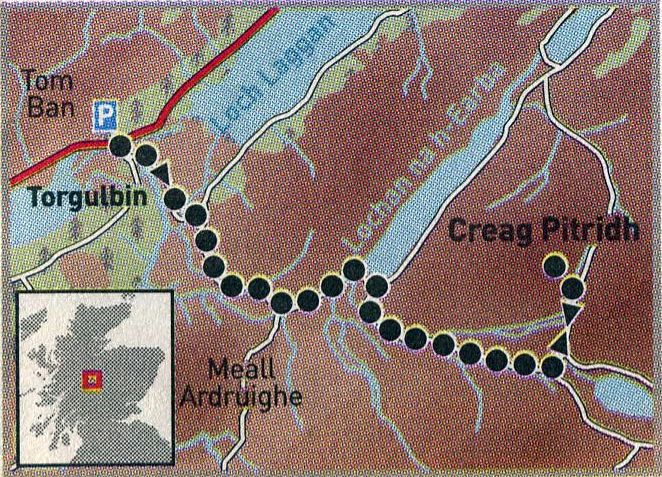 Map
for Creag Pitridh
|
CREAG PITRIDH - ROUTE DESCRIPTION:
Located in the heart of Monarch of the Glen country,
good stalkers’ paths guide you up this Munro.
Views over Loch Laggan and Ardverikie Forest reward the effort.
START/FINISH: Layby on the A86 at the south end of Loch Laggan, by the end of the track leading to Luiblea ( grid ref NN 430830 ).
DISTANCE: 20km/ 13 miles.
TOTAL ASCENT: 720m.
MAP: Ordnance Survey 150,000 Landranger sheet 42.
ROUTE:
Cross the bridge over the River Spean and follow the track towards Luiblea.
It climbs and skirts around the southern flank of Binnein Shuas to reach Lochan na h-Earba.
At the south—west tip of the loch, a stalkers’ path leaves the track and follows Allt Coire-Pitridh to the col between Creag Pitridh and Beinn a'Chlachair.
Go left at the junction just below the col and the path leads out to Creag Pitridh.
Return by same route or bag the neighbouring Munros of Geal Charn and Beinn a'Chlachair, descending north-west from the summit of the latter to
join the track home by the ruin at Lubvan.
OTHER WALKS IN THE AREA:
For a more challenging Munro, try Creag Meagaidh on the other side of the glen or explore the forest trails in nearby Black Wood.
WHERE T0 STAY:
The Monarch of the Glen cast stayed at the Coig Na Shee guesthouse in Newtonmore, a former Victorian lodge
that offers B&B from £25. Tel: 01540 670 109 or visit www.coignashee.co.uk
Ben Nevis | Knoydart | Isle of Skye | Isle of Arran | The West Highland Way
The Eastern Highlands | The Central Highlands | The Southern Highlands | The NW Highlands